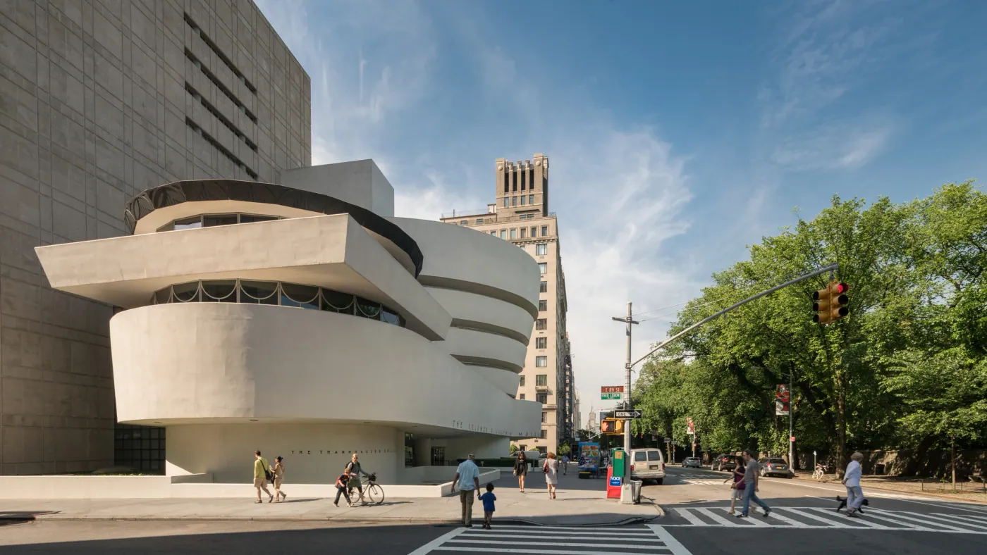

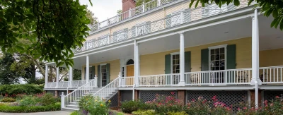
A practical guide to the quiet riverfront pocket along East End Avenue from about East 79th to East 90th Street in Yorkville, including Carl Schurz Park, John Finley Walk, Gracie Mansion, Henderson Place, homes, transit, flood and landmark checks, tradeoffs, and buying or selling.
East End Avenue is the quiet river edge of Yorkville on Manhattan's Upper East Side. It runs beside the East River, with Carl Schurz Park filling much of the river side to the north. This guide uses a working frame from about East 79th Street to East 90th Street. That range is useful for explaining the area, but it is not an official boundary. Maps, residents, and real estate sources do not all draw the same line.
The pocket is best understood as a set of close relationships: East End Avenue and its residential blocks; Carl Schurz Park and the elevated John Finley Walk; Gracie Mansion, the official residence of the Mayor of New York City; Henderson Place, a small historic district; and the crosstown buses and subway stations just to the west. The exact block matters. Park access, train access, noise, light, flood questions, and even landmark rules can change within a few hundred feet.
Where East End Avenue and Gracie Place are
East End Avenue sits at the far east of the Upper East Side grid. York Avenue and First Avenue are one or more avenue blocks to the west. Second Avenue and Lexington Avenue lie farther west, where most subway access in this part of Manhattan is found. The East River is to the east. From about East 84th Street north to East 90th Street, Carl Schurz Park comes between the avenue and the river.
The name Yorkville describes the larger historic neighborhood on this part of the Upper East Side. East End Avenue is best treated as a fine-grained pocket along the neighborhood's river edge, not as a separate official neighborhood with fixed borders. Different sources may start or stop the area at a different cross street.
What “Gracie Place” means here: it is useful local shorthand for the short river-side extension of East 84th Street near the park. It is not a long residential avenue.
“Gracie Place” is a local name. City street records list nearby Gracie Square and Gracie Terrace. Use the exact address when you look up the property.
North is up. This schematic map is not to scale. It shows the working frame and major relationships. On a small screen, swipe sideways to see both edges. Check each exact address against a current street map, transit map, and official property records.
- Inside the frame: East End Avenue from about East 79th to East 90th, the short East 84th river extension, and the streets beside the avenue.
- Park edge: Carl Schurz Park runs from East End Avenue to the river between about East 84th and East 90th.
- Historic district: Henderson Place sits between East 86th and East 87th near East End Avenue. It is a small district, not the whole pocket.
- Nearby, not on East End: the M79 and M86 crosstown buses and the Q and 6 subway stations are useful links, but the subway stops are west of the avenue.
| Item | What to know | Important limit |
|---|---|---|
| Working frame | East End Avenue from roughly East 79th to East 90th Street. | Approximate, not an official neighborhood boundary. |
| Carl Schurz Park | Official NYC Parks boundaries are East End Avenue to the East River and East 84th to East 90th Street. | The park is public open space, not housing. |
| Henderson Place | A small historic district designated by the Landmarks Preservation Commission in 1969. | It does not landmark every building on East End Avenue. |
| Nearby transit | M79-SBS reaches East End around East 79th and 80th; M86-SBS runs on East 86th. | The subway stations shown on the MTA map are west of East End Avenue. |
Scroll sideways to see every column.
What makes this riverfront pocket different
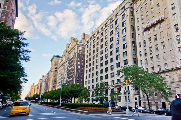
The first difference is the edge itself. East End Avenue does not feel like a busy shopping street. It is mainly a residential avenue between the city grid and the river. On the northern blocks, Carl Schurz Park is the neighbor on the river side. That creates open sky, planted paths, public space, and views for some homes. It also means the public park and the road system below the promenade are part of the everyday setting.
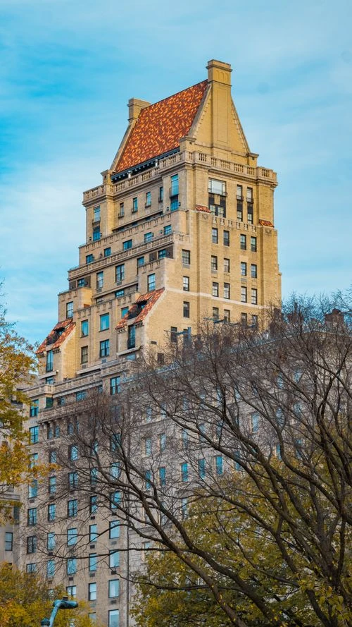
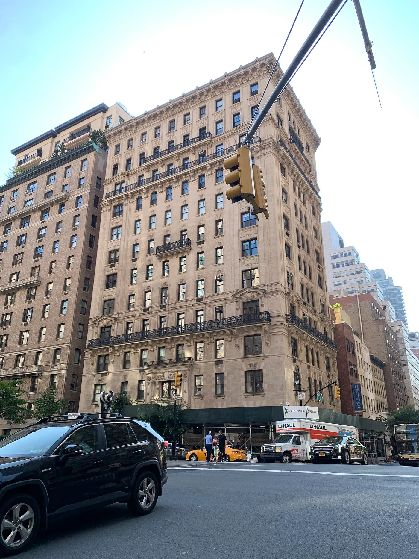
The second difference is scale. The pocket has a mix of low-rise and mid-rise buildings rather than one uniform tower district. Prewar elevator buildings, some newer condominium or rental buildings, and a small number of townhouses or combined houses can appear within a short distance. “Prewar” is shorthand for a home usually built before World War II. It describes an era, not a guarantee about size, condition, elevators, closets, noise, or quality.
This is a general description of street and building character, not a building-by-building inventory or a market statistic. Park boundaries, landmark status, transit routes, and school assignment are checked below against official sources.
South of the park
- The East 79th Street end is close to the M79-SBS stops at East End Avenue.
- Carl Schurz Park begins around East 84th, so the lower blocks are less directly attached to the main park stretch.
- The route to Lexington Avenue and the 6 train begins on the west side of the pocket.
From about East 84th north
- The park runs beside the avenue toward East 90th Street.
- Henderson Place sits near East 86th and 87th; Gracie Square and Gracie Terrace are also part of the local map vocabulary.
- Gracie Mansion and the John Finley Walk are inside this park stretch.
Riverfront light and views
Some homes have open river, park, or skyline views. Others face an interior court, a side street, another building, or a lower roof. The neighborhood name cannot promise a view. Check the exact unit, its direction, the windows, the floor, and any construction or tree growth that could change the outlook. Ask for the view in daylight, and visit again if evening noise or wind matters.
Noise and access can change block by block
A park-facing home may be close to walking paths, playgrounds, courts, street work, or the public edge of the park. A home near East 79th or East 86th may feel different from a mid-block home because those streets carry crosstown bus routes. The FDR Drive runs beneath the eastern park edge in this area. The right question is not simply “Is it quiet?” It is: quiet at what hour, on which side of the building, and during which kind of day?
How the riverfront developed
The river edge has a long history. NYC Parks describes the area around Hell Gate and Horn's Hook, a Walton house built in 1770, a Revolutionary War fort, and Archibald Gracie's country house built in 1799. Gracie's house later became the first home of the Museum of the City of New York, then the official mayoral residence. Today, Gracie Mansion is still where the Mayor of New York City lives.
Henderson Place tells the housing story. Architectural firm Lamb & Rich designed the group for John C. Henderson, and construction began in 1881 for people of moderate means. The project was virtually complete by 1882. Of the original 32 dwellings, 24 survive. Combining units over time left about 21 dwelling units.
A small source difference worth knowing
NYC Parks pages do not give one acquisition date. The park history page says the city seized the Gracie estate in 1896; the Gracie Mansion highlight page says the city acquired it by condemnation in 1891. Both describe the late nineteenth-century transfer of the estate into park use. The exact date is less important for a buyer than the result: the riverfront became public parkland, and the house remained as a historic public building.
- 1902: Calvert Vaux and Samuel Parsons completed a landscape plan for the park.
- 1910: the park was renamed Carl Schurz Park.
- 1923–1932: Gracie Mansion housed the Museum of the City of New York; the NYC Parks park-history page gives 1924–1932.
- 1939: Maud Sargent redesigned the park while the East River Drive underpass, now the FDR Drive, was built. Boulders, plantings, plazas, and walkways helped screen the roadway.
- 1941: the elevated promenade was dedicated as John Finley Walk.
- 1942: Mayor Fiorello LaGuardia became the first mayoral resident of Gracie Mansion.
- 1969: the Landmarks Preservation Commission designated the Henderson Place Historic District.
This history still affects the place now. It explains the small houses in Henderson Place, the park's terraced paths, the relationship between the avenue and river, and why some exterior changes require review. It also shows that the waterfront is engineered: the park and promenade sit beside a major roadway rather than directly on a natural shoreline.
Homes and smaller areas
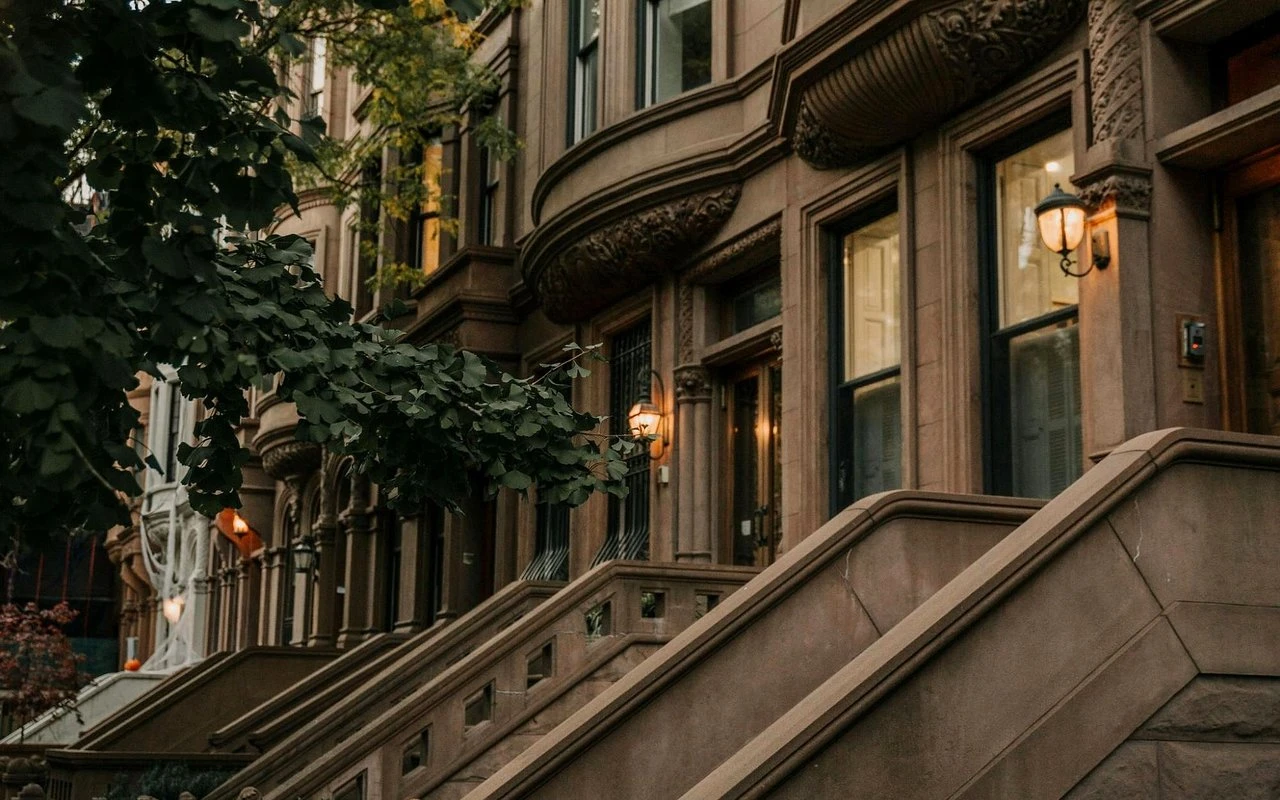
There is no single housing product called “East End Avenue.” A buyer may see a prewar co-op, a newer condominium, a rental building, a combined townhouse unit, or a small historic house. The first task is to name the ownership form and the building rules.
This is a general orientation to possible housing forms, not a complete official inventory or a current market statistic. Confirm the exact building, ownership form, and unit.
Co-op: a form of apartment ownership in which the resident owns shares in a corporation that owns the building, plus the right to occupy a specific apartment. A board usually reviews buyers and sets house rules.
Condominium: ownership of a unit together with a share of the building's common property. An association still sets rules, but its process is usually different from a co-op board process.
Townhouse: a house that may be owned outright, divided into condominium units, or held in another legal form. Ask which form applies instead of assuming that every townhouse works the same way.
| Area or form | What is documented | What to check |
|---|---|---|
| East End Avenue blocks | A mixed residential range from roughly East 79th to East 90th. The exact building inventory is not fixed by a city landmark designation. | Ownership form, age, floor plan, financials, house rules, condition, and the exact view. |
| Henderson Place Historic District | A compact 1969 landmark district with 24 of 32 original dwellings surviving. Listed ranges include 6–16 Henderson Place, 549–553 East 86th, 140–154 East End Avenue, and 552–558 East 87th. | Landmark status, prior exterior approvals, planned work, and how alterations affect the house. |
| Gracie Square, Gracie Terrace, local “Gracie Place” | Map records returned Gracie Square and Gracie Terrace; local writing uses Gracie Place for the short East 84th river extension. | The official street name, property record, mailing label, and exact cross street. |
| Carl Schurz Park and Gracie Mansion | Public parkland and the official mayoral residence inside the river edge of the pocket. | Public access is not private access. Do not treat park proximity as ownership of park amenities. |
Scroll sideways to see every column.
Henderson Place deserves separate treatment from the rest of the avenue. The district covers less than half an acre, and its 24 surviving red-brick Queen Anne and Elizabethan-influenced houses sit around a short street and nearby numbered addresses. The Landmarks Preservation Commission designation report gives the exact boundaries and addresses. “Historic district” describes this documented group. It does not describe every building between East 79th and East 90th.
Carl Schurz Park, John Finley Walk, and Gracie Mansion
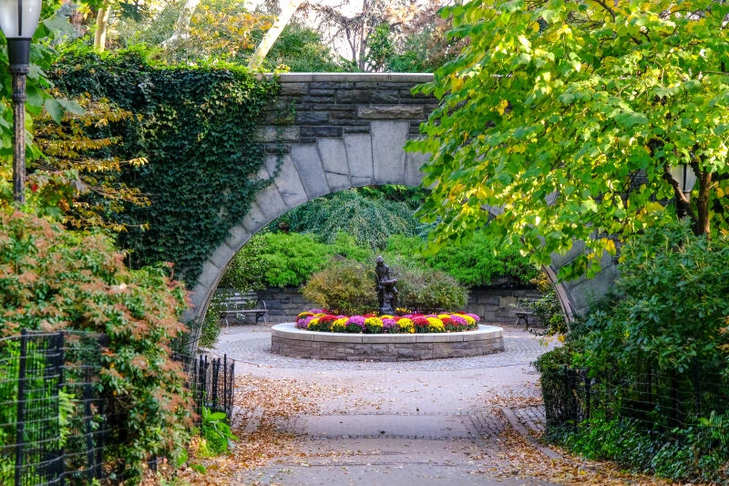
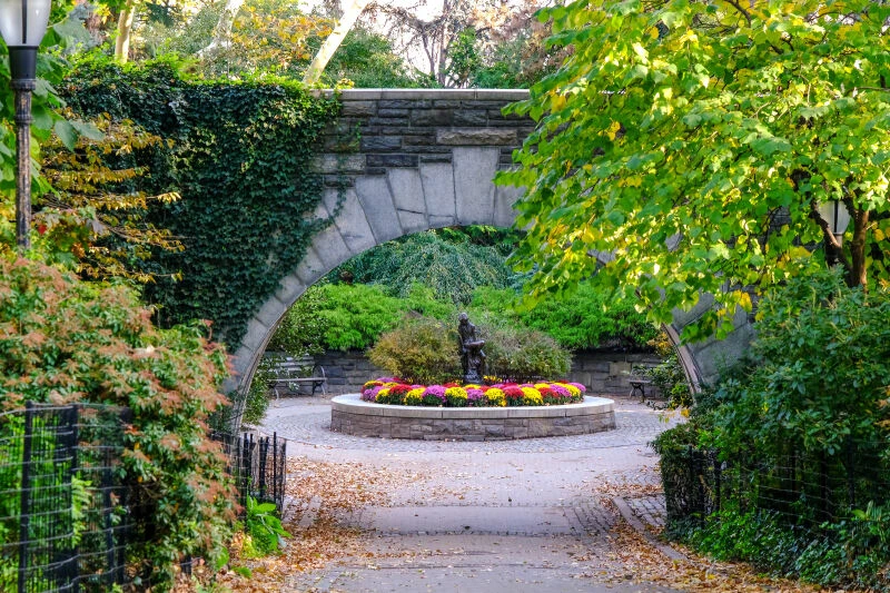
Carl Schurz Park is the main everyday public space in the pocket. NYC Parks gives its boundaries as East End Avenue to the East River and East 84th to East 90th Street. The park covers 14.94 acres and lies in Community Board 8, with ZIP codes 10028 and 10128 shown on the official park page.
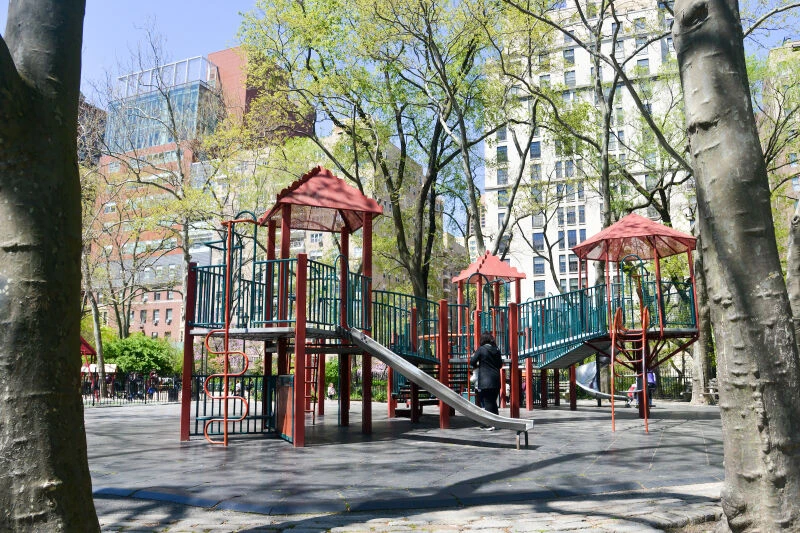
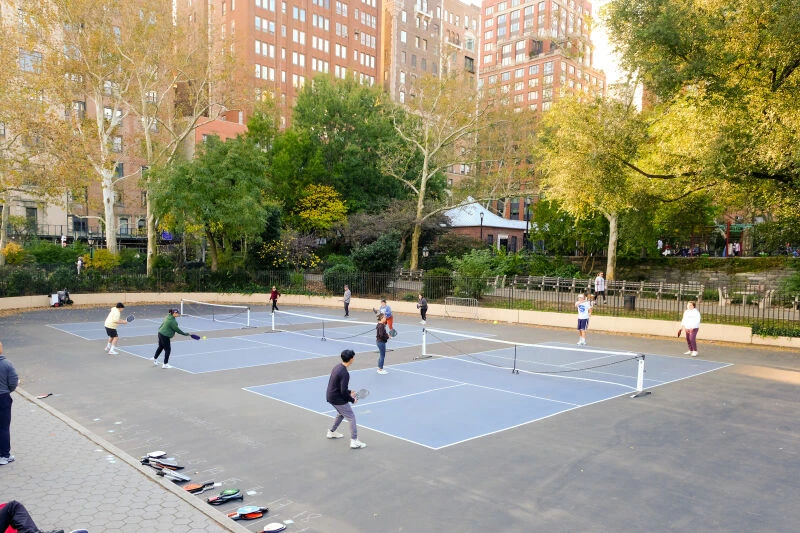
The official facility list includes basketball, dog-friendly areas, historic houses, pickleball, playgrounds, public restrooms, roller hockey, and spray showers. The page also highlights Catbird Playground, Gracie Mansion, and the Peter Pan statue. Facilities can close for weather, repair, or seasonal work, so check the NYC Parks page before planning around one amenity.
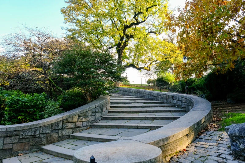
The East River Promenade is officially John Finley Walk
The elevated waterfront path over the FDR Drive is named John Finley Walk. NYC Parks says it was dedicated on July 1, 1941 as an elevated walk over East River Drive. It is still easy to understand as the park's riverfront promenade. The design matters: the path is not at street level with East End Avenue. It is built over the roadway, which is how the park separates public river access from the highway below.
Gracie Mansion is a public landmark with a working official use
Gracie Mansion was built in 1799 as Archibald Gracie's country house. It became the official mayoral residence in 1942 and remains in use. The Gracie Mansion Conservancy says the house now contains rooms for official events, a collection of New York art and decorative arts, and public education work. A buyer should understand it as an important public building inside the park, not as a private clubhouse for the surrounding homes.
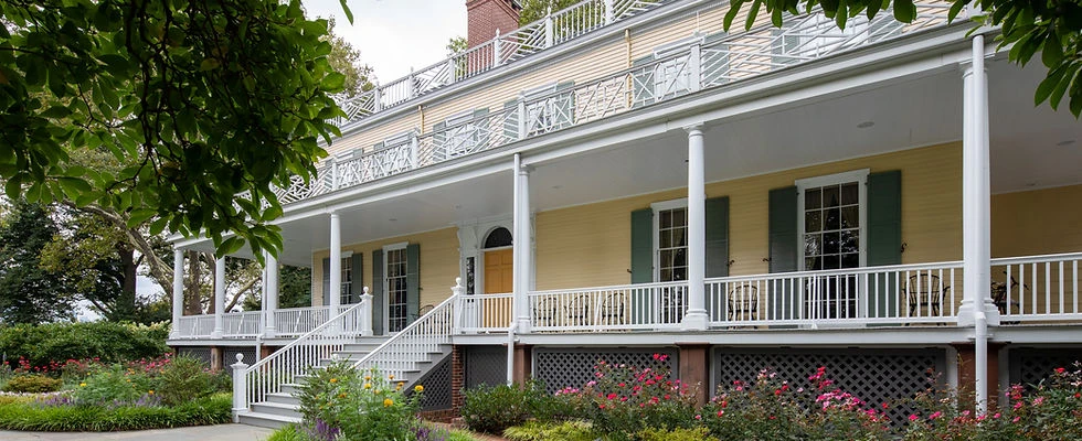
Tours were paused at the time of checking
On November 6, 2026, the Conservancy's experience page said that all tours were paused while the next era of public programming was planned. The NYC311 tour page should also be checked for any change. Do not rely on an older tour schedule found elsewhere.
Everyday life and getting around
Daily life here is built around a residential avenue, the park, and trips west for most other errands. East End Avenue itself is not the place to assume a long row of shops. Grocery stores, restaurants, and services are more likely to be found along First, York, Second, or Third Avenues and the East 86th Street corridor. Businesses change, so use a current map for today's options.
The Yorkville Library is at 222 East 79th Street, just west of East End Avenue near the southern edge of this working frame. Its official page lists books, Wi-Fi, computers, classes, and programs.
Transit: the buses come close; the subway is west
There is no subway station on East End Avenue in this pocket. The most direct crosstown public transit is by bus. The nearest subway options are several avenue blocks west. That is not a reason to avoid the area, but it changes the daily route compared with a home near a station.
| Route | Where it fits | What it means here |
|---|---|---|
| M79-SBS | Crosstown on East 79th Street, with stops at East End Avenue and East 79th/80th. | A direct bus link at the south end of the working frame. Check the current MTA timetable. |
| M86-SBS | Crosstown on East 86th Street, connecting around York Avenue and First Avenue. | A crosstown route at the middle of the frame, but it does not run down East End Avenue. Check the MTA timetable. |
| Q train | The MTA map shows the Q at Second Avenue and East 86th Street. | West of East End Avenue. It is a nearby option, not an East End station. |
| 6 train | The MTA map shows Lexington Avenue stations at East 77th and East 86th Streets. | Even farther west than the Q for this pocket. Use the current MTA subway map. |
Scroll sideways to see every column.
Schools must be checked by exact address
A school near the neighborhood is not automatically the school assigned to an address. New York City says school zoning is based on the home address and can change. Use the city's Find a School tool, then confirm the result with the school. NYC311 says zoning lists are updated every July and families should call the school to confirm.
Driving and the river edge
The FDR Drive runs along the eastern side of Manhattan in this area. The park and John Finley Walk sit above or beside parts of that road system. Exact driving time depends on the day, direction, traffic, and destination. If car access matters, test the route at the hour you would actually use it.
What ownership involves
The easy part is noticing the park and the river. The harder part is understanding the building, the legal rules, and the work that comes with a specific address. The items below are the questions most likely to be missed by someone looking only at the neighborhood name.
1. Building finances
A co-op's monthly maintenance can include taxes and building services. A condominium's common charge pays for shared services and may be separate from property taxes. Neither number tells the whole financial story.
- Ask for the current budget, financial statements, and reserve policy.
- Ask about underlying debt, recent capital projects, and any planned work.
- Ask whether owners have paid a special assessment, which is an extra charge for a building expense.
- For a co-op, ask about the board process, financial requirements, sublet rules, and total shares and maintenance for the unit.
- For a condominium, ask about common charges, reserve funds, underlying mortgage debt if any, and association rules.
2. House rules
Buildings can set their own rules about pets, renovations, deliveries, storage, laundry, elevator use, guests, and how long a home may be occupied. A park view does not override those rules. Read the current house rules and recent meeting disclosures instead of relying on a neighbor's memory.
3. Landmark review for designated property
If a home is inside a designated historic district such as Henderson Place, exterior work may need approval from the Landmarks Preservation Commission. The commission explains that landmark designation does not freeze a property. Owners still maintain it, but most exterior work that affects the designated building needs review.
A Certificate of Appropriateness is the approval used when work affects protected architectural features or does not follow the commission's rules. The commission lists examples such as additions, demolition, new construction, and removing a stoop or cornice. Applications are filed through Portico. The commission says the process can take about three months, but timing varies. Keep that as a planning example, not a guaranteed schedule.
The fastest way to get confused
A nearby park does not prove a view. A nearby school does not prove assignment. A historic house nearby does not prove that a specific building is landmarked. A subway shown on a neighborhood map does not prove that it is on East End Avenue. And a projected flood layer does not, by itself, set a property's flood zone or insurance requirement. Check the exact address with the right official source.
4. Flood and weather checks
The river edge makes flood questions reasonable, but a neighborhood label is not an answer. Search the exact address in NYC's Coastal Flood Hazard Mapper. The tool can show effective flood-insurance maps, preliminary maps, base flood elevation, and projected future layers.
Pay close attention to the rule behind the picture. NYC says the projected future high-tide and floodplain layers are informational and non-regulatory. They should not be used alone to determine a property's flood zone, flood elevation, or whether flood insurance is required. The city's flood-map overview explains the different zone types. Confirm current requirements with FEMA, lenders, and an insurance professional.
Also check the practical side of severe weather: window condition, water entry, backup power, building insurance, deductible levels, and how the building handles interruptions. Those details belong to the exact property, not the whole avenue.
5. Park, road, and view exposure
Ask which side of the building faces the park, the river, East End Avenue, a side street, or a court. Ask what the view looks like from the actual windows. Ask how the building handles wind, humidity, street noise, road work, and park maintenance. These are not reasons to reject a home. They are reasons to look at more than the marketing photo.
Why people consider it — and the tradeoffs
Why people consider it
- A residential river edge with Carl Schurz Park beside many northern blocks.
- John Finley Walk and the park paths provide public outdoor space near home.
- Henderson Place offers a documented small-house and historic streetscape.
- The housing mix includes prewar buildings and other forms rather than one uniform development.
- M79-SBS and M86-SBS give crosstown bus links at East 79th and East 86th.
- The avenue is more residential than the busier shopping corridors to the west.
What to weigh
- There is no subway station on East End Avenue in the working frame.
- Park-facing or high-floor views are unit-specific, not guaranteed.
- The FDR Drive, park activity, and crosstown streets can affect noise by block and hour.
- Flood, insurance, school, and commute questions require address-specific checks.
- Co-op approval, financial requirements, and house rules can affect timing and fit.
- Designated property can require landmark review before exterior changes.
None of these tradeoffs is automatic for every home. They are the concrete features that separate the neighborhood name from a specific purchase. A reader can like the park setting and still decide that a subway walk matters more. Another reader may value the historic block and accept a longer train route. The right choice depends on the route, building, budget, and daily routine.
Buying and selling here
This section is an area overview, not a full guide to the Manhattan transaction process. Its purpose is to show what deserves extra attention in this particular pocket.
Buying checklist
- Confirm the exact address and cross street. Decide whether it is inside the East 79th–East 90th working frame or nearby.
- Identify the ownership form: co-op, condominium, townhouse, rental, or another arrangement.
- Review building finances, common charges or maintenance, reserves, underlying debt, assessments, house rules, and the board or association process.
- Check whether the property is in a historic district and whether any exterior work needs Landmarks Preservation Commission approval.
- Search the exact address in the flood mapper and confirm insurance requirements with authoritative sources.
- Check school assignment by address, not by the name of a nearby school.
- Walk the route to the bus and subway at the time of day that matters to you.
- Visit the home more than once if light, views, park noise, street noise, or evening conditions are important.
Selling checklist
- Describe the exact relationship to the park, river, and transit. Do not turn “near” into “on” or “at.”
- Give accurate maintenance or common charge figures, reserve and assessment information, house rules, and known capital work for the current period.
- If the property is designated, document prior exterior approvals and planned work clearly.
- Keep asking prices and sold prices separate, and label any dated market example with its date.
- Do not promise a flood zone, school assignment, view, quiet setting, or commute time that the address does not establish.
FAQs and next step
What are the boundaries of East End Avenue and Gracie Place?
This guide uses East End Avenue from about East 79th to East 90th Street as a working frame. It is approximate, not official. Carl Schurz Park has a firmer boundary: East End Avenue to the East River and East 84th to East 90th Street.
Is “Gracie Place” an official street name?
It appears to be local shorthand for the short East 84th Street river extension. The checked NYC Centerline data returned Gracie Square and Gracie Terrace, not Gracie Place. Verify the exact address and mailing label.
What kinds of homes are here?
Expect a mix that can include prewar co-ops, condominiums, rentals, townhouses, and combined historic houses. Henderson Place is a separate, documented historic district. The exact form and rules belong to each property.
Is the whole pocket landmarked?
No. Henderson Place was designated in 1969, but its designation covers a small group of properties. A nearby landmark does not make every East End Avenue building designated. Check the address with the Landmarks Preservation Commission.
Can I tour Gracie Mansion now?
Tours were paused at the time this article was checked, on November 6, 2026. Check the Conservancy and NYC311 pages for a current change before planning a visit.
How far is the subway?
There is no subway station on East End Avenue in this frame. The Q at East 86th and the 6 at East 77th or East 86th are west of the pocket. M79-SBS reaches East End around East 79th and 80th, and M86-SBS runs along East 86th.
What should I check about flood risk?
Search the exact address in the NYC Coastal Flood Hazard Mapper. Projected layers are informational and not enough, by themselves, to determine a flood zone or insurance requirement. Confirm the current answer with FEMA and an insurance professional.
How do I check schools?
Use the city's Find a School tool with the exact home address, then confirm the result with the school. Zoning can change, and a nearby school is not automatically the assigned school.
What should I do before making an offer or listing a home?
Start with the exact address, ownership form, building finances, house rules, landmark status, flood and school checks, and the real route to transit. Then bring the questions that are specific to that property.
If you’re buying or selling near East End Avenue and Gracie Place, bring John the exact address. He can help you talk through the block, the building and the tradeoffs that matter to you.
Sources and current checks
Changing details were checked on November 6, 2026. Park rules, transit schedules, tour status, flood data, school zones, and profile figures can change.